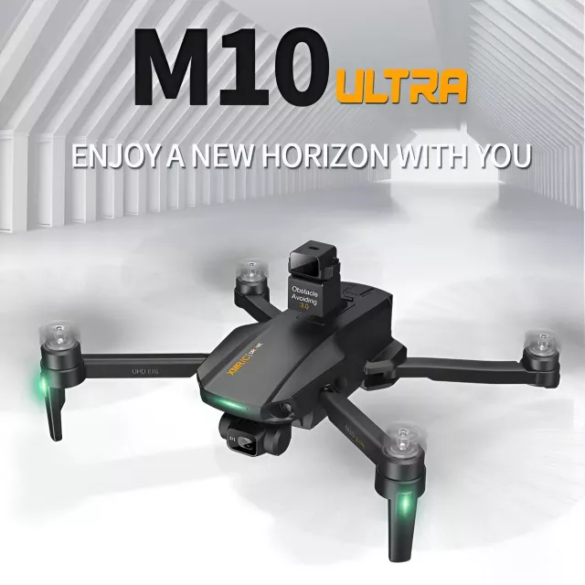
M10 Ultra S Drone: 4K GPS 3-Axis Gimbal, 5km Link
M10 Ultra S Drone 4K GPS 3-Axis Stabilized Quadcopter with 5KM Range
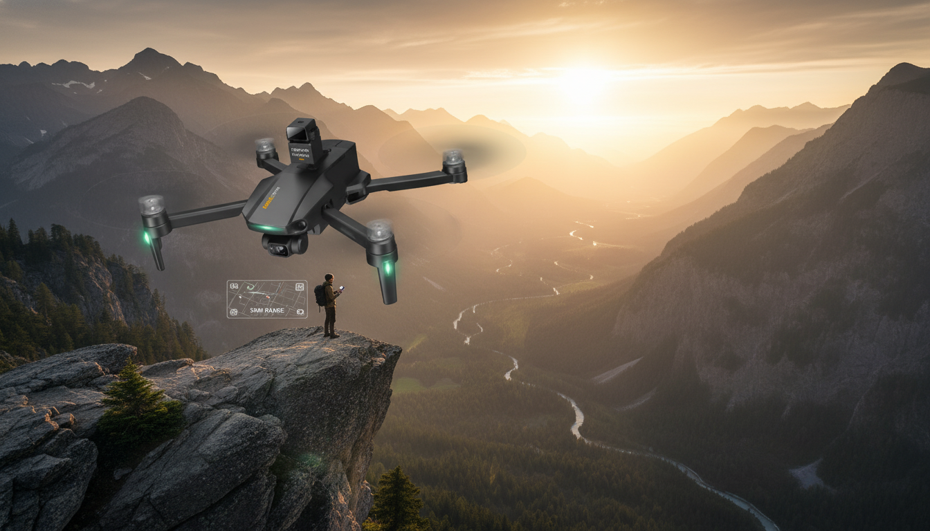
Built for steady 4K aerial footage and confident navigation, the M10 Ultra S combines GPS-assisted flight with 3-axis stabilization and a long-range control link. It’s aimed at pilots who want smoother video, more reliable positioning, and added peace of mind features for outdoor flights—whether that’s capturing scenic overlooks, cruising coastlines, or practicing cinematic passes in open spaces.
Quick highlights
- 4K capture paired with 3-axis stabilization for smoother footage in motion
- GPS-assisted positioning for more stable hovering and easier outdoor control
- Long-range control link rated up to 5 km (real-world range varies by conditions and local limits)
- Designed for outdoor filming, scenic flights, and general exploration
Key specifications at a glance
Use the specs below as a starting point, then verify practical limits like range and battery performance based on where the drone will be flown. If local rules require visual line of sight, long-range capability still helps by improving link stability even at shorter, compliant distances.
| Spec | What it means for flying |
|---|---|
| 4K camera | Higher-detail footage for landscapes, travel shots, and post-crop flexibility |
| GPS positioning | More predictable hovering and easier return guidance outdoors |
| 3-axis stabilized system | Reduced shake and jitter during forward flight and gentle turns |
| Up to 5 km control range (rated) | Stronger link potential in open areas; range depends on interference, terrain, and regulations |
| Quadcopter format | Balanced handling and broad parts/accessory compatibility in the category |
4K video and 3-axis stabilization for smoother footage
A 3-axis stabilized setup is designed to counter roll, pitch, and yaw movements, improving steadiness during forward flight and minor wind gusts. In practical terms, that means less “micro-jitter” when you push forward, fewer wobbles in gentle turns, and a more watchable result even before editing.
4K resolution is most noticeable when filming wide scenes—mountain ridges, desert roads, lakes, and city skylines—because fine detail holds up better on larger screens. It also gives extra flexibility for reframing: a modest crop or digital punch-in can still look crisp compared with lower-resolution source footage.
For the cleanest results, fly like a camera operator: avoid abrupt stick movements, keep turns gradual, and plan flight paths that minimize sudden altitude changes. Slow, consistent inputs typically do more for “cinematic” quality than any single spec on a product page.
GPS-assisted flight: positioning, confidence, and recovery options
GPS support can improve outdoor hovering stability compared with purely manual flight, especially when you pause to compose a shot or line up a repeatable pass. When the drone can better hold position, it’s easier to focus on framing and motion rather than constantly correcting drift.
GPS features are most useful when launching from open areas with a strong satellite lock. Dense trees, tall buildings, and narrow canyons can reduce reliability, so location choice matters—particularly for first flights or when testing new maneuvers.
A helpful pre-flight habit is to wait for GPS lock before takeoff and confirm the home point is set correctly if your app/controller supports it. That small pause can reduce stress later, especially if you need recovery guidance or a return-to-home style action.
Understanding the 5 km range claim in real-world conditions
The “up to 5 km” figure is typically measured under ideal, interference-free conditions with clear line of sight. In everyday flying, real-world performance can be significantly lower, and that’s normal across consumer drones.
Range and live video clarity are affected by Wi‑Fi and RF congestion, nearby power lines, cell towers, tree cover, terrain blocking the signal, and even humidity. Antenna orientation and where you stand (for example, behind a car or next to metal fencing) can also change the link quality more than expected.
Even if you fly closer, a higher-rated link can still be valuable because it can help maintain a more stable connection and reduce dropouts in moderately noisy environments. Always follow local rules on maximum distance and visual line of sight. For U.S. guidance, refer to FAA recreational flying information at FAA — Fly UAS (drones) under the Exception for Recreational Flyers and registration requirements at FAA — Register Your Drone.
Who this drone fits best
Setup checklist for the first flight
Safety, legality, and good flying habits
Also keep firmware and any companion app up to date if the platform provides updates, and review notes about changes to return behavior or failsafe settings. For general consumer guidance on interference sources that can impact wireless performance, see FCC — Wireless Devices and Interference.
Pricing and availability
More in-stock picks
- The Income Multiplier Bundle | 4-in-1 Bundle | Multiple Income Streams, Dividend Stocks, Side Hustles & Strategy
- Meaningful Conversation Starter Guide | Printable Guide for Dating, Friendship & Networking | Deep Questions & Prompt Examples
FAQ
Does the drone really fly 5 km away?
The 5 km figure is a rated maximum under ideal, interference-free, clear line-of-sight conditions. Real range varies with terrain, congestion, antenna orientation, weather, and legal limits such as visual line of sight requirements.
What does 3-axis stabilization change compared with basic stabilization?
3-axis stabilization actively compensates across multiple axes to keep the camera steadier during forward motion and turns. It helps reduce jitters and small bumps that electronic stabilization alone may not fully smooth out.
Is GPS required to fly it?
Many drones can still be flown without GPS in certain modes, but GPS improves outdoor hovering stability and can support recovery features. For best performance and safety, wait for a strong satellite lock before taking off.


Leave a comment